People seek out Cohousing for a variety of reasons. For some, reduced use of resources through sharing spaces and equipment is a big motivator. To what extent can residents get by with less dependence on the private automobile?
My husband and I are one of two car-free households at MoCoCo. Others are able to reduce the number of cars or frequency of trips, largely because our location is well-supplied with transit and non-motorized transportation options.
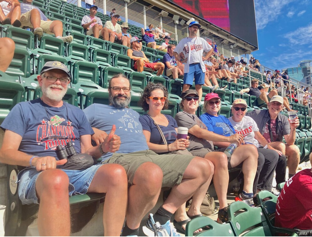
Travel to outings with neighbors, like this sunny day at Target Field, will be a lot easier when the light rail starts running.
Transit (current and coming soon)
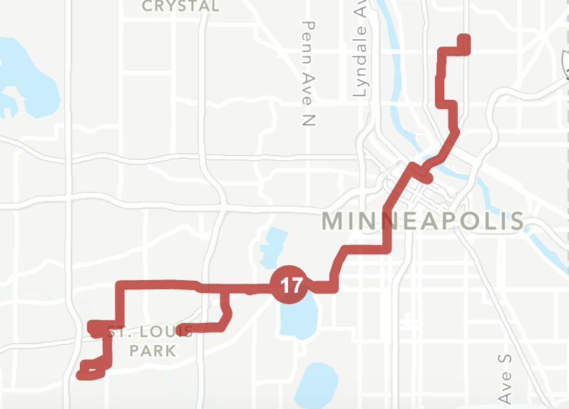
There is a stop for the 17 bus line on Minnetonka Blvd, essentially at the end of our back driveway. The 17 goes to Uptown, Downtown and NE Minneapolis and to the southwest part of St. Louis Park. It comes every 15 minutes at peak times.

After many delays, light rail will finally come to the neighborhood in 2027. The stations are in place, and the rails are being laid. This Southwest extension of the Green Line will go from suburban Eden Prairie to downtown Minneapolis, where it connects with the current Green LIne to St. Paul and Blue LIne to the airport and Mall of America.
Here, the Cedar Lake Trail flies over the completed Beltline Blvd light rail station, which will be our closest stop.
It’s a half-mile walk (or ride on the 17 to transfer) to the 21 bus which serves downtown St. Paul. In June, it will become a bus rapid transit line.
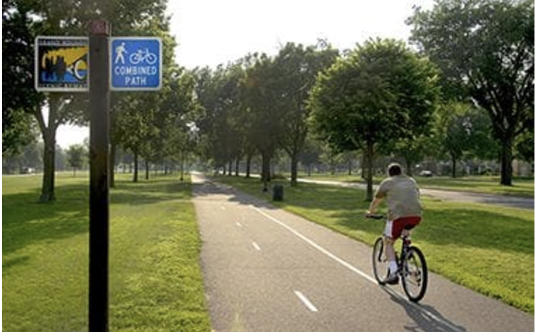
Biking and Walking

Our closest major road, Minnetonka Blvd, is getting a remake! From an unpleasant, fast-moving 4-lane “stroad” with narrow, rough sidewalks right next to the street, it is undergoing a “road diet” to turn it into a lower-volume, lower-speed multimodal street. Residents of MoCoCo successfully lobbied to have a crosswalk added for safer access to our bus stop and the south side of Minnetonka Blvd.

Forbes called Minneapolis the “Best Large US City for Biking” in 2024. We are lucky to be an easy and safe bike ride to the famous Midtown Greenway and the Cedar Lake and North Cedar Lake Trails, which connect us to the entire extensive metro bikeway system. The fabulous Grand Rounds bike trails around the Chain of Lakes are easily accessible. This Hennepin County bike trail map gives you an idea of what is available, and doesn’t even show the many on-street bike and pedestrian facilities,
Car Share
The Metro Area has a car-share program called HourCar/Evie. Gasoline and electric cars are available for short trips, up to 72 hours. We use these cars occasionally for weekend trips (each HourCar includes a State Park pass), or especially large or heavy shopping trips. The nearest locations are reasonable bus or bike rides away.

We sometimes use Uber of Lyft for a late return home, and because we know all of our Cohousing neighbors, we feel confident that we could ask for help in a real pinch.
So How Realistic is Reducing Car Dependence?
Our children are grown. I am retired and my husband works from home. If our lives were otherwise, it might well be much more difficult. We find we can pretty easily reach almost anything (groceries, health care providers, pharmacy, hair salon, bookstore, restaurants, library, etc) by bike in good weather or bus/walking when it’s icy out. We do tend to choose destinations based on location and transit or bike accessibility. We find it freeing and a satisfying way to live. It has enabled us to get to know our new city in a way that we wouldn’t from inside a car. We feel lucky to be in a location that allows people to make transportation choices other than the private car.